


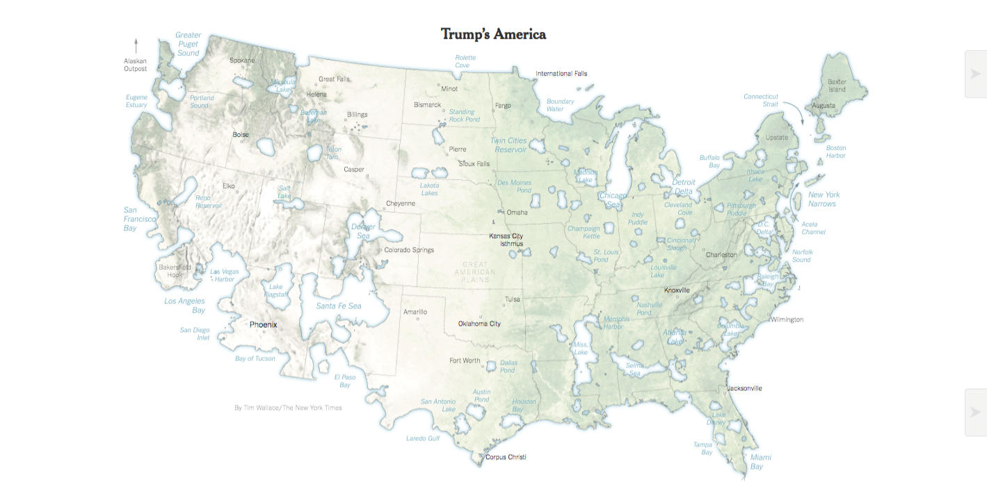
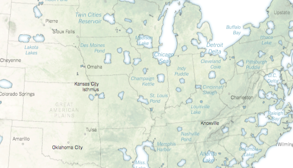
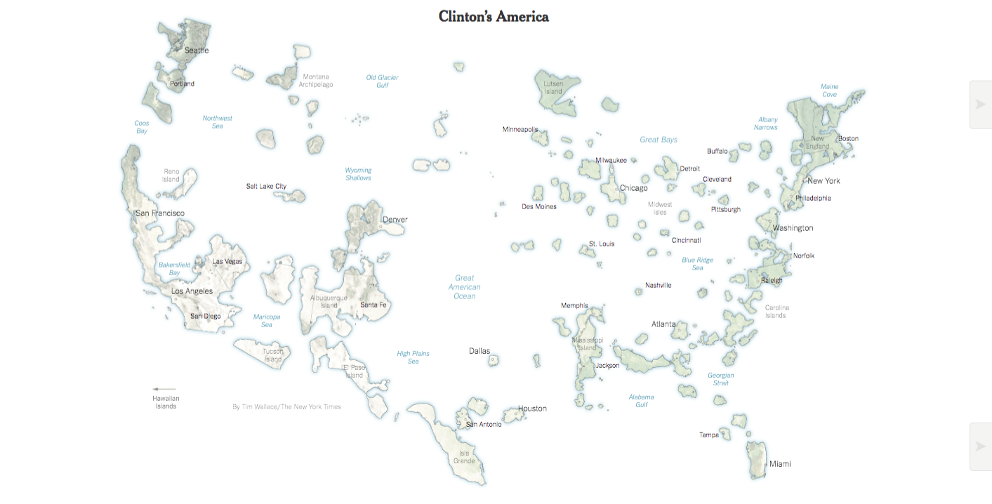
Without talking about the election too much, this article came out in the New York Times about what a map of the United States would look like if voter regions were isolated. Which areas voted for Trump and which areas voted for Clinton, in terms of land mass: “The Two Americas of 2016” they called it. Above, you can see what Trump’s America looks like, and if you take a closer look — Champaign County becomes a body of water because most humans voted for Clinton around these parts. You can check out Clinton’s actual map below as well.
Horray, maps!