


I, a self-proclaimed indoor princess who has never even been camping, have taken a liking to going for long walks in the woods. Moving my body and being in nature has some pretty positive effects on my mental and physical health. And in year three of the pandemic, we all need all the help we can get in that regard (bonus- walking outside is a very pandemic friendly activity!) Some people might call this activity hiking, but that sounds pretty official for someone who only recently relaxed her stance on peeing outside. So welcome to “Walkin’ in the Woods” where every few weeks I will talk about a trail I visited within a reasonable driving distance of Champaign-Urbana. I will cover things like parking, the bathroom situation, how easy the trail is to navigate, and any noticeable safety concerns. And of course any cool wildlife or scenery spotted on trail.
As you might have guessed, this column is not really meant for seasoned outdoor enthusiasts. I have no fancy equipment recommendations and will not be scaling any mountains (not that the midwest is really known for mountains anyway). I generally head out to the woods with a small backpack with the following items: water, snacks, tissues, a plastic bag to take out any trash, pepper spray, and my smartphone which is loaded with the AllTrails app.
If you are new to hiking or navigationally challenged I highly recommend the AllTrails pro subscription for it’s access to offline trail maps to keep you from getting lost. It’s also a great way to browse new trails for your next adventure. My other recommendation is to invest in some comfortable, waterproof hiking boots. I have yet to be on a trail where there wasn’t at least a little mud or water involved.
Getting There and Parking
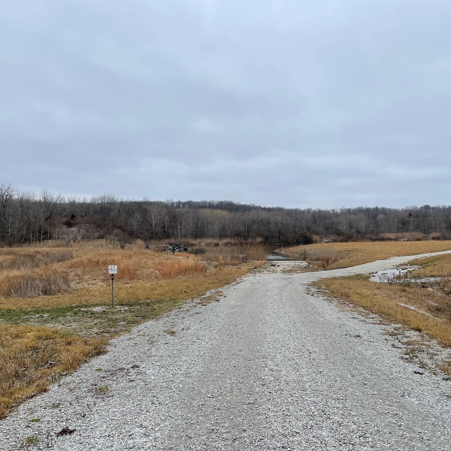
The first trail I visited this year was the KRR Short Loop in Kickapoo State Park. It’s one of the most popular parks for hiking in the vicinity and just a short 30 minute drive from Urbana. As per usual, AllTrails is actually not super helpful when it comes to figuring out parking. The KRR Short Loop is actually an amalgamation of a few trails so to figure out the trailhead and closest parking you need to know the official trail name to find the starting point. If you compare the AllTrails map to the official park map, it’s basically the “Clear Lake Trail” with a piece of the “Out and Back Trail” tacked on. Anyway, I recommend parking near the Park Office for easy access to the trailhead.
Trail Conditions
According to the weather apps, the inside of my freezer was much warmer than the outside. So despite bundling up in multiple layers, the air immediately began assaulting my face as soon as I got out of the car. I briefly debated turning around and going back home but didn’t want to wimp out on the First Official Hike ™ of the year. So I had my first experience with ice-mud, alongside spots of regular mud and some substantial puddles. All the mud types seem to be very slippery and I will tell you right now you can not do this trail in the winter without waterproof hiking boots and nice thick socks.
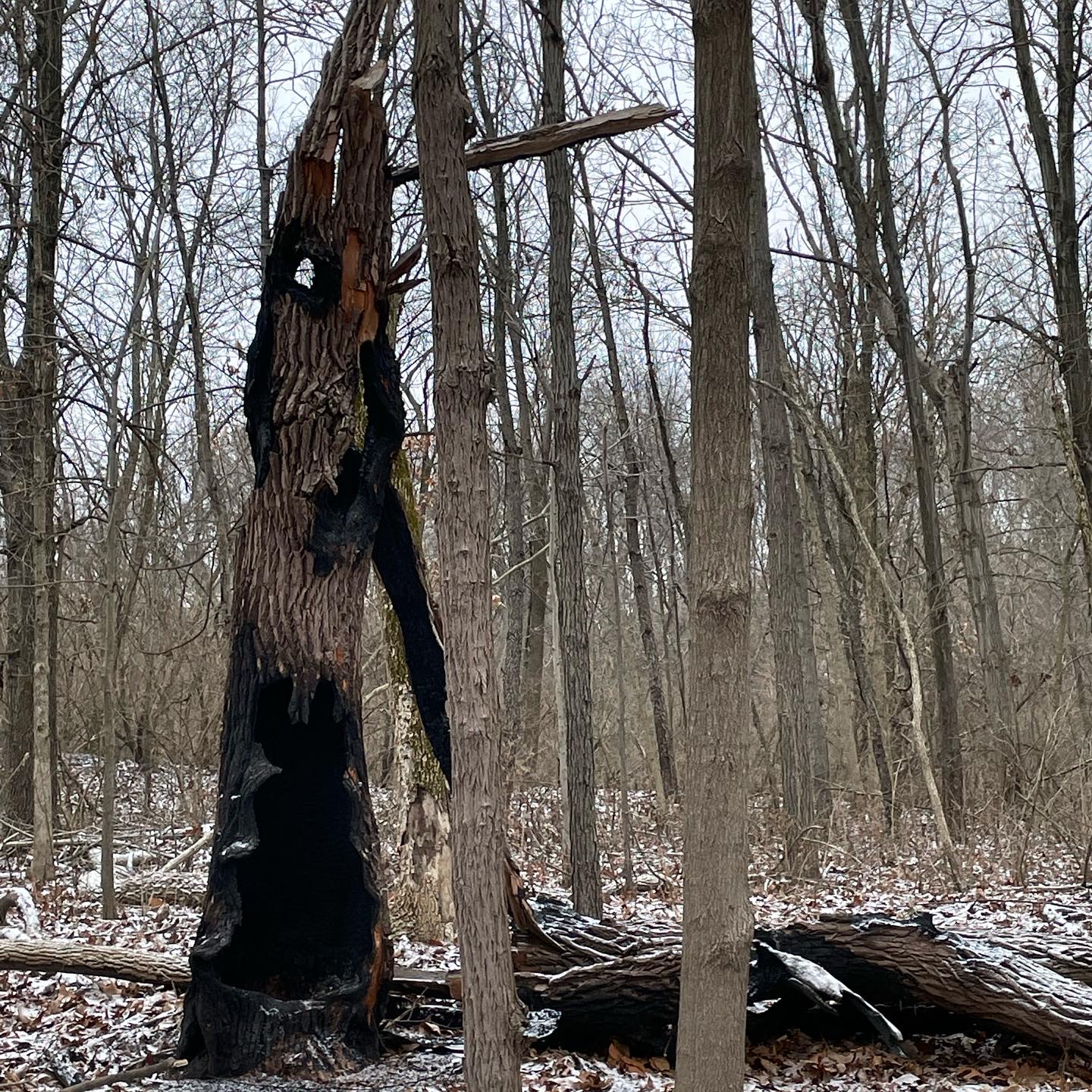
Photo by Mara Thacker.
The trail was generally well maintained and well marked, but since the route is a mash up of a few trails, you need to be careful to make sure you’re not jumping to a different trail at the wrong time. For the most part you are following the KRR signs and the “Out and Back” signs, but just try to pay attention to where you are going. I did at one point take a left turn and go down a pretty steep slope only to realize I had crossed onto another trail that I wasn’t supposed to be on. I had to backtrack a quarter of a mile up that same steep hill and I was not happy about it.
The Bathroom Situation
Sometimes in the woods, on a long trail, you have to pee outside. If so, and especially if you’re a person with a vulva, you’re probably looking for a somewhat private spot where it doesn’t feel like you might be exposing your cheeks to a neighbor or colleague who also likes walking in the woods. You want a nice stump or fallen tree to crouch behind, or a certain amount of tree density. There are some spots around the midway point that are pretty good for such things. But towards the beginning and end there are long stretches of woods with just spindly trees or no stumps. Having bypassed some nice stump opportunities in the middle of the trail, I ended up having to hold it until I ultimately found an outhouse at a campsite on route. On the plus side it did have some toilet paper and I didn’t have to carry a plastic bag with pee tissues out of the woods. On the downside, there was ice on the toilet seat and the smell was truly gagworthy. So in the end, I’d recommend keeping an eye out for robust trunks on trail and taking advantage of those.
Safety
This is a moderately trafficked area and even on such a cold day, I ran into several other hikers. I didn’t hear any gunshots from nearby firing ranges and there was no hunting on the premises. Except for a little slippery ice on the road I had no major safety concerns.
Wildlife and Scenic Views
Just saw one lonely deer traipsing in the woods. Majestic, but I’m guessing the regular presence of people keeps some of the wildlife at bay. There were a number of pretty river and pond views along the way. My favorite was a nice view of the Vermillion River at one the higher elevation points on the trail.
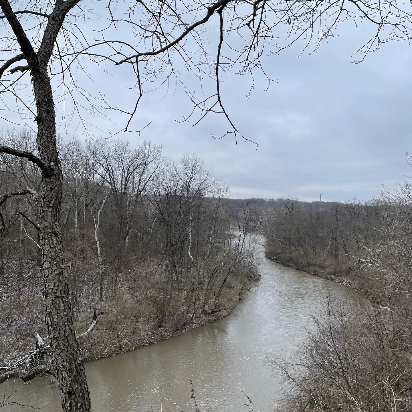
Photo by Mara Thacker.
Final Thoughts
I like this trail. It’s a nice sweet spot of difficulty where even if you aren’t in great shape you can probably get through it. If you are more athletic, you might want to run it when the weather is better or seek out something with a bit more mileage or elevation gains. Although AllTrails said it was a 6.6 mile trail, the final mileage ended up being 7.3 miles due to the unplanned detour, and it took right around three hours. While it’s not my favorite local trail, I expect to visit again because it’s pleasant, a close drive, and feels safe enough to do alone.