


When I set out to try the North Fork Trail in Clinton Lake, I did so because I wanted to challenge myself. Although not the longest trail I’ve ever walked, it’s a longer loop trail than most and promised an elevation gain of 708 feet — impressive in a state that is mostly flatter than a pancake. For context, this is about twice the elevation gain than the Lake Mingo Trail and more than twice the elevation of the KRR Loop. What I did not know, however, is that the entire trail is a meandering zig zag such that you are always either going up or coming down but rarely just walking. Add a healthy dash of mud and let’s just say that this trail will have you ready for a serious nap when it’s all said and done. Would I do it again? Absolutely. But if you’re not in decent shape I’d either allow for lots of time to stop and rest along the way or wait until you’ve worked your way up to it.
Getting There and Parking
There are multiple routes to get from C-U to the Clinton Lake Recreation Area, including interstate options. I prefer the scenic route – go west on Springfield Avenue and then just keep going for about 50 minutes. There is ample and accurate signage for the North Fork Trail, and plenty of parking near the boat loading docks. The only trick is that there are some trail map and park information signs right in the parking area that might lead you to believe the trailhead should be right there, but in fact you will need to exit the parking lot and cross the street to a second set of signs and maps to get started.
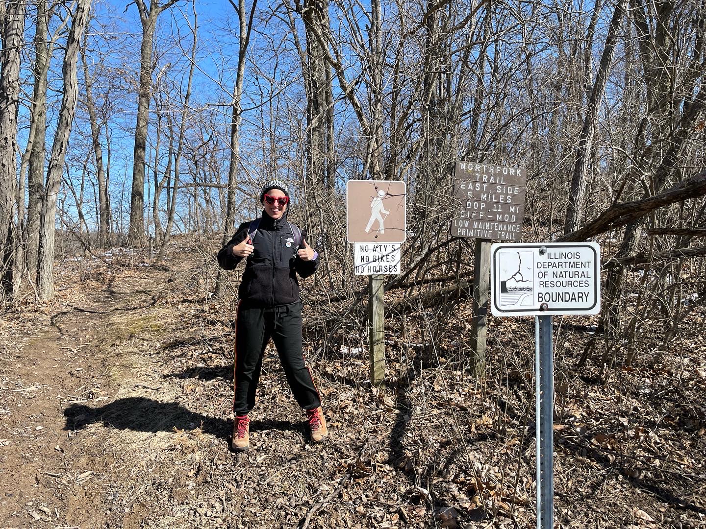
Photo by Mara Thacker.
Trail Conditions
Holy mud, Batman! I went in early March about a week after all the various snowpocalypses cleared up so I expected mud. But I did not expect the constant up and downhill nature of this trail, which makes muddy conditions more of a problem than it might otherwise be. I don’t usually bring a walking stick with me and for the first time I really wished I had. Aside from absolutely caking my boots in muck such that after I got home I needed to purchase a boot cleaning brush, I did actually slip and have a small fall. Thankfully I wasn’t hurt and had enough water and hand sanitizer that I could clean up my hands. So consider yourself warned that springtime on this trail is a messy affair. I’d advise bringing a walking stick and an extra pair of shoes to change into for the ride home.
The Bathroom Situation
This advice is directed specifically at the other outdoor-urination-averse folks like myself. Most routes from C-U to the Clinton Lake Recreation area will take you past a small Casey’s gas station in De Land. My advice is to stop there and use the restroom and stock up on snacks. After that point, you’re going to have to drop trou in the woods. In theory there is an old general store near the trailhead, and there were some facilities near the parking area that seemed like they might have bathrooms, but if they did they were locked. Just don’t forget that we all have a responsibility to keep our parks beautiful so you should leave no trace. That is to say, please step off the trail and if you must use tissue, carry it out with you.
Safety
I didn’t observe any notable safety concerns with the exception of the mud being a hazard if you’re not nimble and sure-footed. The trail was very well marked so getting lost shouldn’t be a big risk. That said, it is a lightly trafficked trail at least at this time of year, so if you’re out there alone you may want to spend the money on an app that allows for offline GPS navigation.
Wildlife and Scenic Views
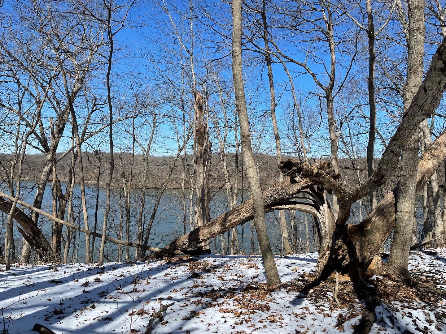
If you like Central Illinois scenery, then you’ll like this trail. Clinton Lake is shaped like a lopsided “V” and the North Fork Trail is a loop around the top of the shorter arm. That means water views! A few scenic spots had some nice benches so you can take in the scenery and rest before your next zig or zag on this zig-zaggity trail. You do get a few pastoral views as well. My favorite unique feature of this trail was a seemingly endless amount of tiny bridges to help you step over a trickle of a stream.
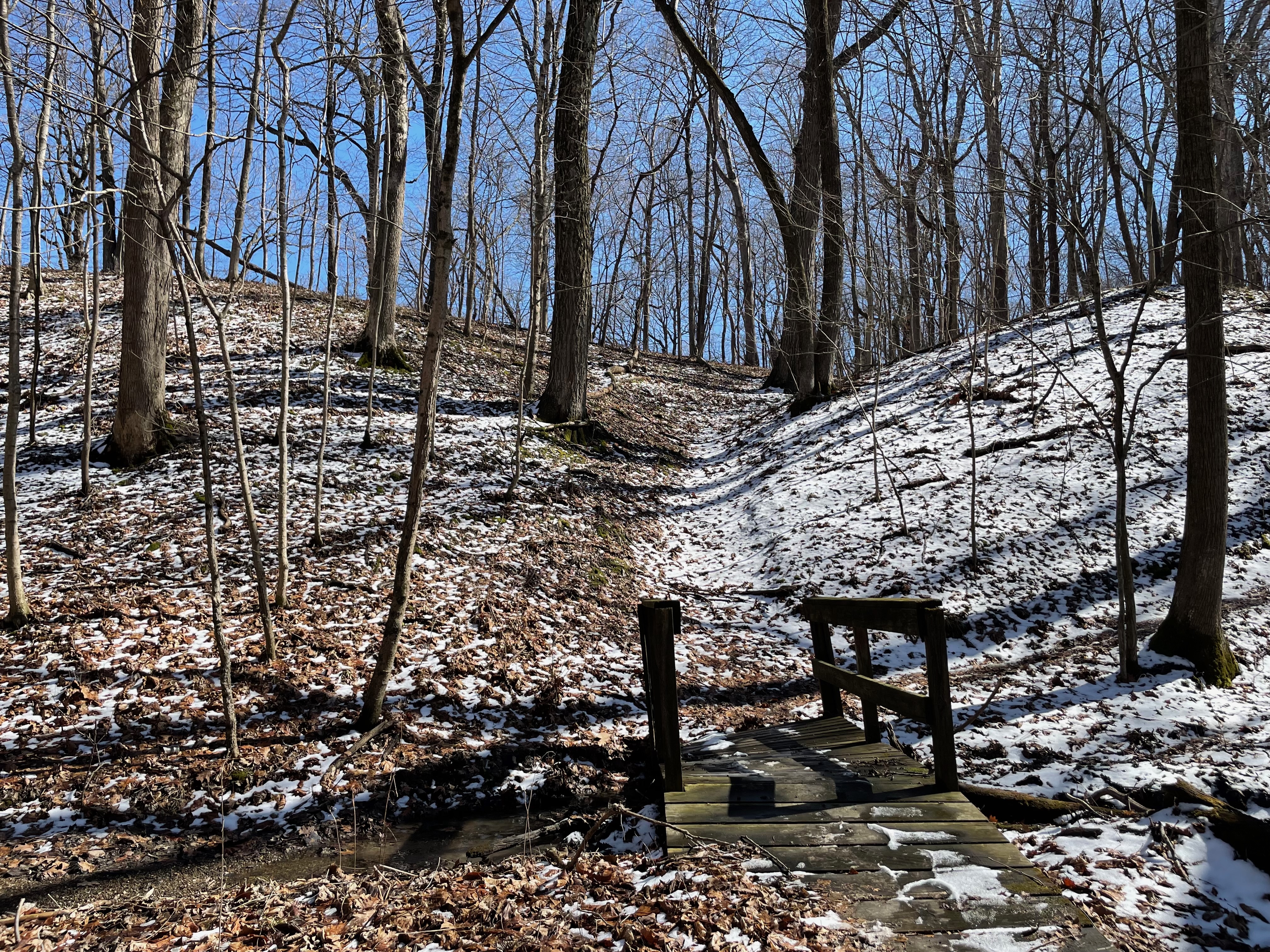
Photo by Mara Thacker.
The worst part of the trail is the final .25 mile or so, which is just alongside a main park road. It’s a very anticlimactic ending to a demanding hike. I also didn’t spot any cool wildlife but that might be because I was looking at the ground a lot to try not to slip in the mud. I’ll be eager to check it out again in the summer and see if there are more woodland creatures out and about.
Final Thoughts
In total, it took me just under four hours to complete the North Fork Trail. Although AllTrails claimed it was a 9.1 mile trail, in reality it’s much closer to 10 miles. I was lucky to have a friend with me for this little adventure and I confess I fell asleep on the ride back to town because I was thoroughly exhausted. It’s a definite step up in difficulty from other trails that I have done so far. But if you like tiny bridges, want to be challenged, or are training for even more difficult future hikes, you’ll want to add this one to your rotation.