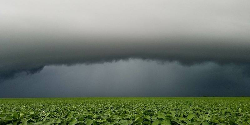
June brought it all; heat waves, flooding rains, and even a few tornadoes. Let’s recap a wild month that will go down as both one of the warmest, and wettest Junes on record in Champaign-Urbana.
My forecast at the end of May was for above-average warmth during the month of June. That certainly came true with our monthly average temperature finishing at 74.6 degrees, 2.3 degrees above the average. While I mentioned that we could end up in a “Ring of Fire” pattern that brought frequent thunderstorms to the region, I still thought we would end up just below average for the month. That absolutely was not the case, as we crushed our monthly average of 4.34” with a whopping 8.26” of precipitation in June — 3.92” above the average. Nearly double! A few days of heavy summer thunderstorms will do that.
Let’s break it down a bit.
After the month of May melted us with 31 consecutive days of above-average temperatures, June at least brought a little more variety. Instead of zero days cooler-than-average like we saw in May, June offered a bounty of eight days spent cooler-than-average. Five of those days appeared consecutively from June 21-25 – a cool and rainy period which also brought over two inches of rain. But once again, the majority of the month was warm. We topped 90 degrees eight times in June, and only five days had high temperatures that did not top 80 degrees.

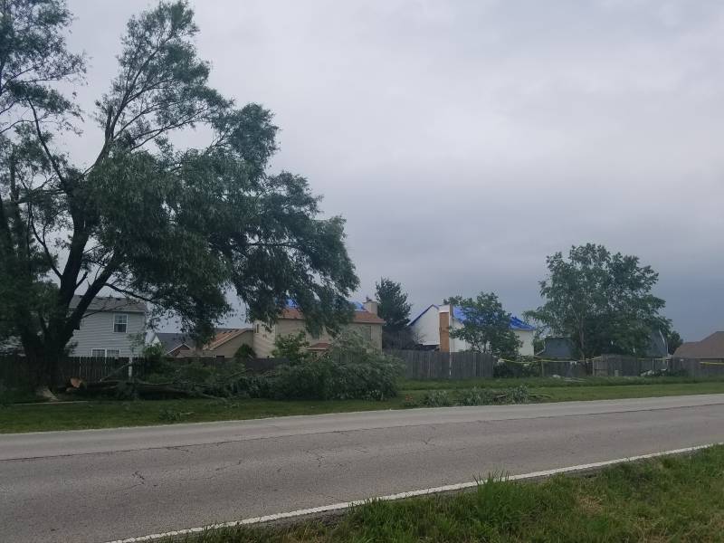
Precipitation was spread out through the month, but there were two distinct periods in which we seemed to get stuck in stormy patterns. From June 9-13 daily thunderstorms brought around 4.5” of rain to the area — and a tornado! A circulation associated with a line of severe thunderstorms that moved through Champaign County on June 10th touched down briefly a pair of times in southwest Champaign, producing damage in a couple of neighborhoods near Windsor and Curtis Roads. This tornado was both brief and relatively weak but caused quite a stir when there was confusion surrounding the warnings that were (or were not) issued and the absence of outdoor warning siren activation. Later in the month, from June 20-23 another 2” or so fell from a more tame, stormy period that was not so heavy on the severe weather. Another weak tornado did touch down in Champaign County on June 26th, causing damage to a few homes in the rural northern part of the county outside Thomasboro and Rantoul.
So, what’s the story for the month of July? Temperatures seem clear — it’s going to be another warm month. I don’t forsee us running away with things on the heat spectrum, setting any kind of sizzling monthly records, but we’ll be warm overall with a few reprieves in the form of cooler temperatures and stormy periods like we saw during the month of June. Precipitation is a little tougher to call. I think we’ll range from near average — to potentially above average. The jet stream pattern looks to keep us mostly dry through the first week to 10 days of July with isolated pop-up afternoon thunderstorms possible that are often more miss than they are hit. There are some signs though that the ridge of high pressure in the jet stream over the central US that is keeping us hot and humid with little rain during the first week of July may migrate westward toward the western US. This would put us back in line with a pattern similar to what we dealt with in June, which could return larger thunderstorm complexes to our area. If this happens, as we saw last month it doesn’t take much to send your monthly rainfall totals soaring. If we do see this shift in the jet stream, we could very easily end up with another wet July. Our July average calls for. 4.7” of rainfall, and I think somewhere between 4”-6” is likely by the time we reach August 1st.
For now – enjoy your 4th of July holiday! The forecast looks great. We’ll be sunny and warm with just a low risk of a pop-up storm during the late afternoon.
Andrew operates Chambana Weather, where he publishes daily weather information for Champaign-Urbana and surrounding communities. He is also an agricultural meteorologist with Agrible, Inc. at Research Park, focused on domestic and international weather and its impact on ag.
Champaign-Urbana monthly climate statistics are courtesy of the Illinois State Water Survey.
Photos by Andrew Pritchard


