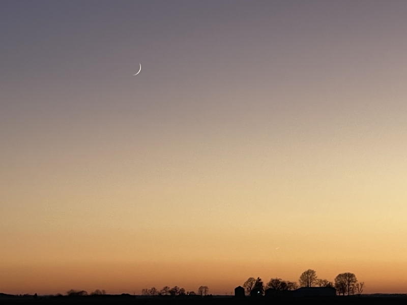
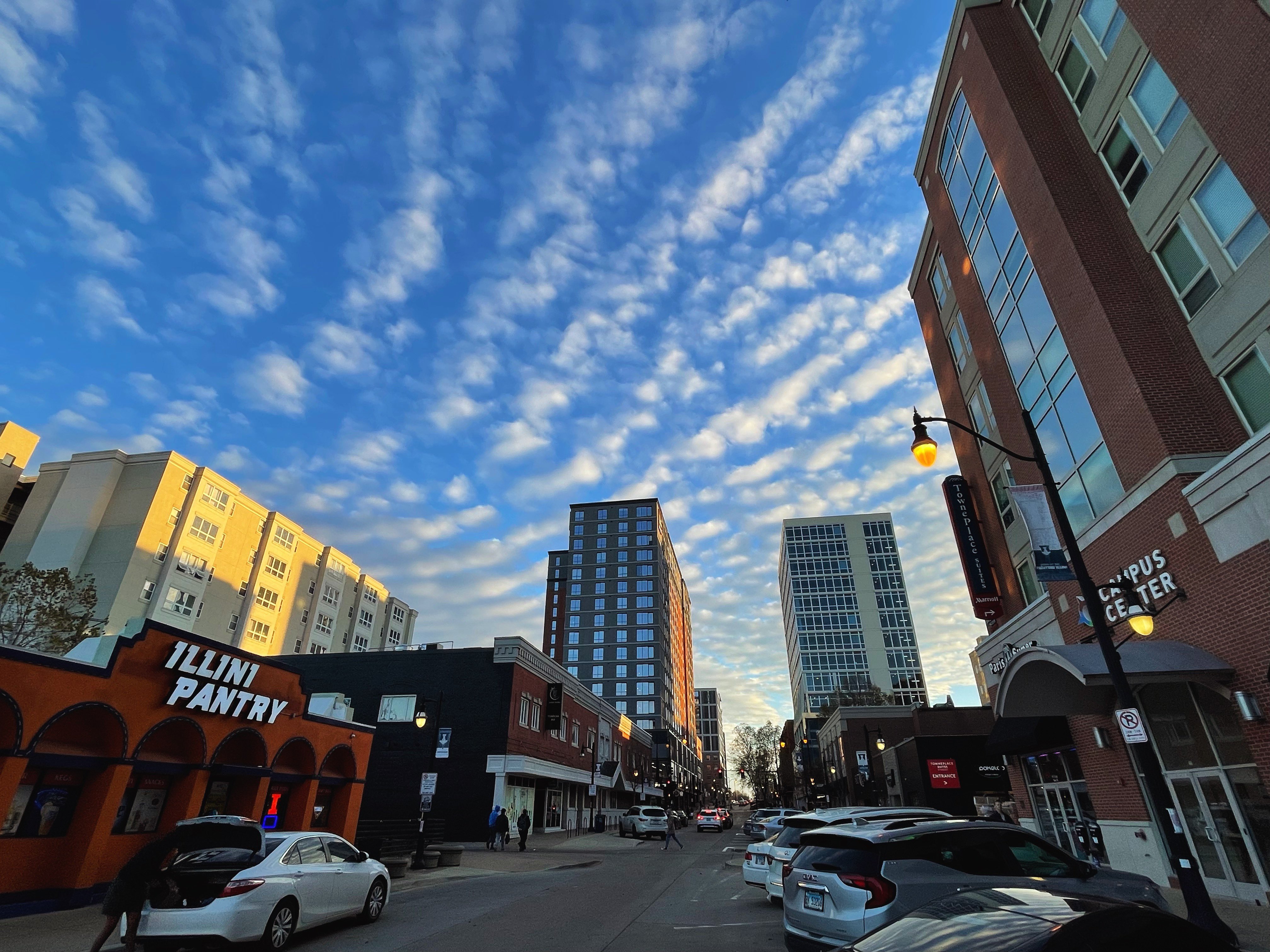
November is often a dynamic weather month in the Midwest, falling right in the peak of our seasonal transition from summer to winter. It’s that special time of year where we can still flirt with 80-degrees but are also likely to see our first snowflakes of the season. November 2022 was no different offering early warmth, followed by a cold snap big enough that I thought it was certain to pull the entire month colder-than-average. Still, a late-month rally pulled us back to the warm side of average overall.
November got off to a mild start, with temperatures at times 20 to 25 degrees above average across Central Illinois over the first 10 days. The monthly maximum temperature was 77 degrees, achieved on November 5th and 10th, setting a new record high temperature for both dates.
A shot of cold air arrived on November 13th, along with our first trace of light snow. How quickly we fell from 20 degrees warmer than average to 20 degrees colder than average, with an overnight low of 12 degrees on the 20th of November being the coldest monthly temperature. I mean really, a high temperature of 77 degrees on November 10th, and a low of 12 degrees 10 days later on November 20th. That’s just classic.
Warmth rebounded quickly after we bottomed out on the 20th, with afternoon highs in the 50s and lower 60s through much of the last week of November.
Overall, November finishes with a monthly mean temperature of 42.6 degrees, 1.2 degrees above average.

Photo by Andrew Pritchard.
November was another dry month in Champaign-Urbana with 1.83″ of total precipitation, well below the monthly average of 3.21″. This was largely aided by a late-month rainfall, too.
The first week of November saw a total of 0.47″ of rain fall on the 1st and 5th, before a very dry second week of November that brought several days of light snow flurries but little in the way of measurable precipitation. Rain accompanied warmer temperatures late in the month, with a soaking rain finally delivering 1.24″ over the course of November 27th and 28th.
We’re already a week into December and off to a mild and dry start. What’s in store as we head deeper into the holiday season and through the rest of the month?
One thing seems clear — we’re going to turn much more active and unsettled over the next few weeks, meaning more frequent, more impactful storm systems bringing more moisture to the region. Initially it appears we’ll mostly see rain from the first few storm systems that sweep through the Midwest in the next seven days or so. A shot of cold air that had an initially appeared likely earlier in the month has been pushed back toward mid-month in recent days. It does still appear that the second half of December will likely trend quite a bit colder, and feel much more wintry across the Midwest. So while snow may not be all that likely before December 15th, our odds may begin to lean in favor of snow vs rain in the last half of the month. That would figure to time well with the holidays if it worked out!
So, my super-concise, overly-confident forecast for the month of December in Champaign-Urbana? A month that finishes wetter than average, with temperatures very near average for the month overall considering a warmer start and colder finish. Could we get lucky enough to see some timely holiday snow? The predicted late-December weather pattern says it’s on the table…but do we get a storm to deliver the goods?
Andrew operates Chambana Weather, where he publishes daily weather information for Champaign-Urbana and surrounding communities. He also serves as Senior Meteorologist with Nutrien Ag Solutions at Research Park, focused on domestic and international weather and its impact on agriculture.
Champaign-Urbana monthly climate statistics are courtesy of the Illinois State Water Survey.


