


Spring got off to a rather cool and gloomy start across Central Illinois, but the month of May showed us a little summer love. Let’s look back at the last few weeks and talk about what the month of June has in store for us.
May finished warmer, and a little drier than average in Champaign-Urbana. The monthly mean temperature was 65.2 degrees F, two degrees warmer than the May average. It wasn’t all heat all the time, of course. The first week of May featured a continuance of rather chilly conditions, with afternoon high temperatures in the 50s under frequently cloudy, rainy skies.
The script flipped in the second week of May as summerlike warmth spread across the Midwest. We saw our first 90-degree day of the year on May 12th — the first in a series of 90-degree days locally that had us cranking the air conditioners and digging those kiddie pools out of the garage. The high temperature of 93 degrees on May 12th also set a new record high for the date, with tied records on the following two days as well.
The last half of May featured typical springtime variance in temperatures. Of the final 15 days in May, seven featured high temperatures in the 80s, five in the 70s, and four in the 60s. Overnight low temperatures ranged from the upper 40s to the upper 60s. Sounds about right for a transitional month in Central Illinois!
While May precipitation fell a little short of the monthly average, we still saw rainfall on 16 of 31 days in Champaign-Urbana. Many days featured gloomy overcast skies with only light rainfall. In fact, nearly half (7 of 16) of days in which rain fell amounted to less than one tenth of an inch. The biggest single day rainfall occured on May 1st and 3rd, when 0.8″ was measured.
Have you noticed a relative lack of severe weather locally? It’s been among the quietest springs I can remember over the past two decades with respect to severe weather in central Illinois. It’s been a mixture of unfavorable patterns and timing. When it’s been active and stormy in the Midwest this spring, it’s often done so without the volatile environments favorable for severe storms and instead has delivered gloomy showers, and a few non-severe storms. Though it only takes one storm to wreack havoc, the overall pattern will continue to be unfavorable for frequent severe weather events locally through much of June.
What else does June have in store? In the near-term, more heat!
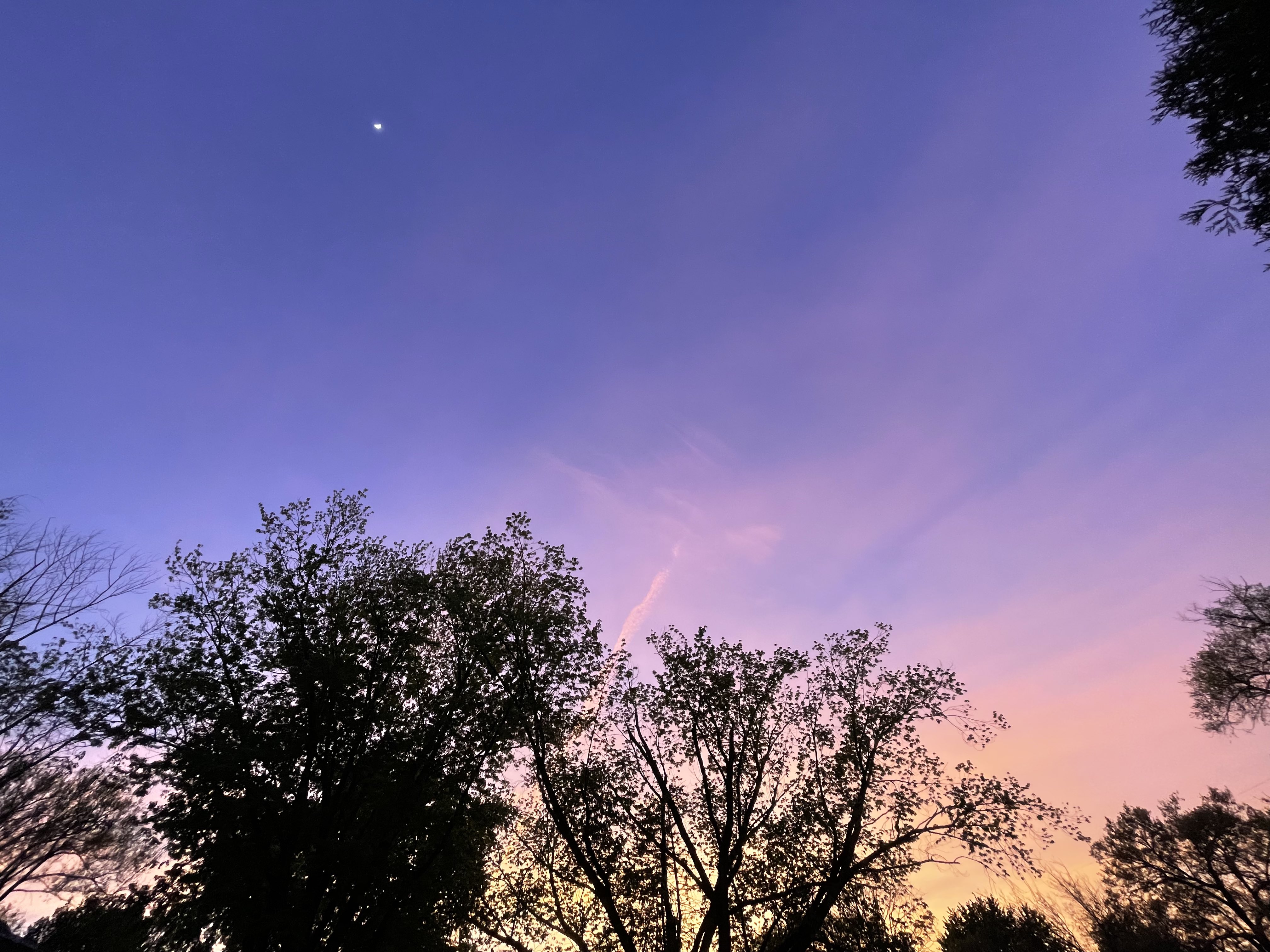
Photo by Andrew Pritchard.
The middle of June looks hot. Very hot. Temperatures will likely soar well into the 90s by around June 13th, with 90-degree heat lingering for a week, possibly longer. Current guidance from our seasonal forecast models keeps a large ridge of high pressure centered over the Central U.S. through much of the month of June. Big high pressure in the summer means big heat and little precipitation.
For now, I’ve got no choice but to ride that hot and dry outlook into the final days of June.
What could change that? The axis of the ridge could shift slightly, from the Central U.S. into the Western U.S. over time. A westward adjustment would put us on the edge of the heat, taking us from an extended period of excessive heat well into the 90s, and adjust things downward to regular old June heat with afternoons mostly topping out in the middle to upper 80s. More importantly, it would set us up in a more favorable regime for what we call “ridge-riders”, or clusters of thunderstorms that develop daily and ride the top of the ridge before diving into the Midwest.
Speaking super generally, imagine the ridge as a big circle over the Midwest. In the middle of the circle conditions are very hot, and very dry. On the edge of the circle you’ve got clusters of thunderstorms “riding the ridge”. Now imagine over time slowly moving the circle westward. Eventually the hottest and driest air is centered west, and you’re on that beautiful edge of the ridge, or that imaginary circle, and our crops, gardens, and lawns are getting a drink every few days.
So the good news is a very hot and very dry forecast can be massaged into a not-so-hot, and sometimes-stormy forecast. The bad news is, most reliable guidance keeps us in that very hot and very dry regime for at least 7-10 days, with any relief likely not coming until the final week of June.
Keep those air conditioners primed and swimsuits nearby, it looks like a hot and dry June in Central Illinois.
Andrew operates Chambana Weather, where he publishes daily weather information for Champaign-Urbana and surrounding communities. He also serves as Senior Meteorologist with Nutrien Ag Solutions at Research Park, focused on domestic and international weather and its impact on agriculture.
Champaign-Urbana monthly climate statistics are courtesy of the Illinois State Water Survey.