


We’re cruising into the second month of climatological spring and the weather in Central Illinois has been appropriately all over the place. March in the Midwest is notorious for delivering the first hints of spring only to slam the door shut with another stubborn winter blast.
As scripted, March brought the first severe storms of the year to Central Illinois, our first 70-degree days, and of course, annoying bursts of snow burying early spring dreams.
Our first severe thunderstorm of the year in Champaign-Urbana swept through town in the dark of the night on March 5th, following a devastating outbreak of severe storms and tornadoes to our west across the state of Iowa earlier in the day. We hit a high temperature of 73 degrees the following day, March 6th. Later that same week it was snowing and we saw overnight low temperatures fall into the single-digits.
Quiet and mild conditions took us through the middle of the month with a handful of beautiful days with sunshine and afternoon temperatures in the 60s and 70s. Then we stepped back onto the winter-spring see-saw late March into early April.
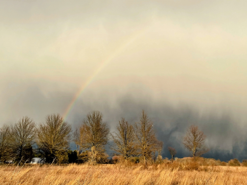
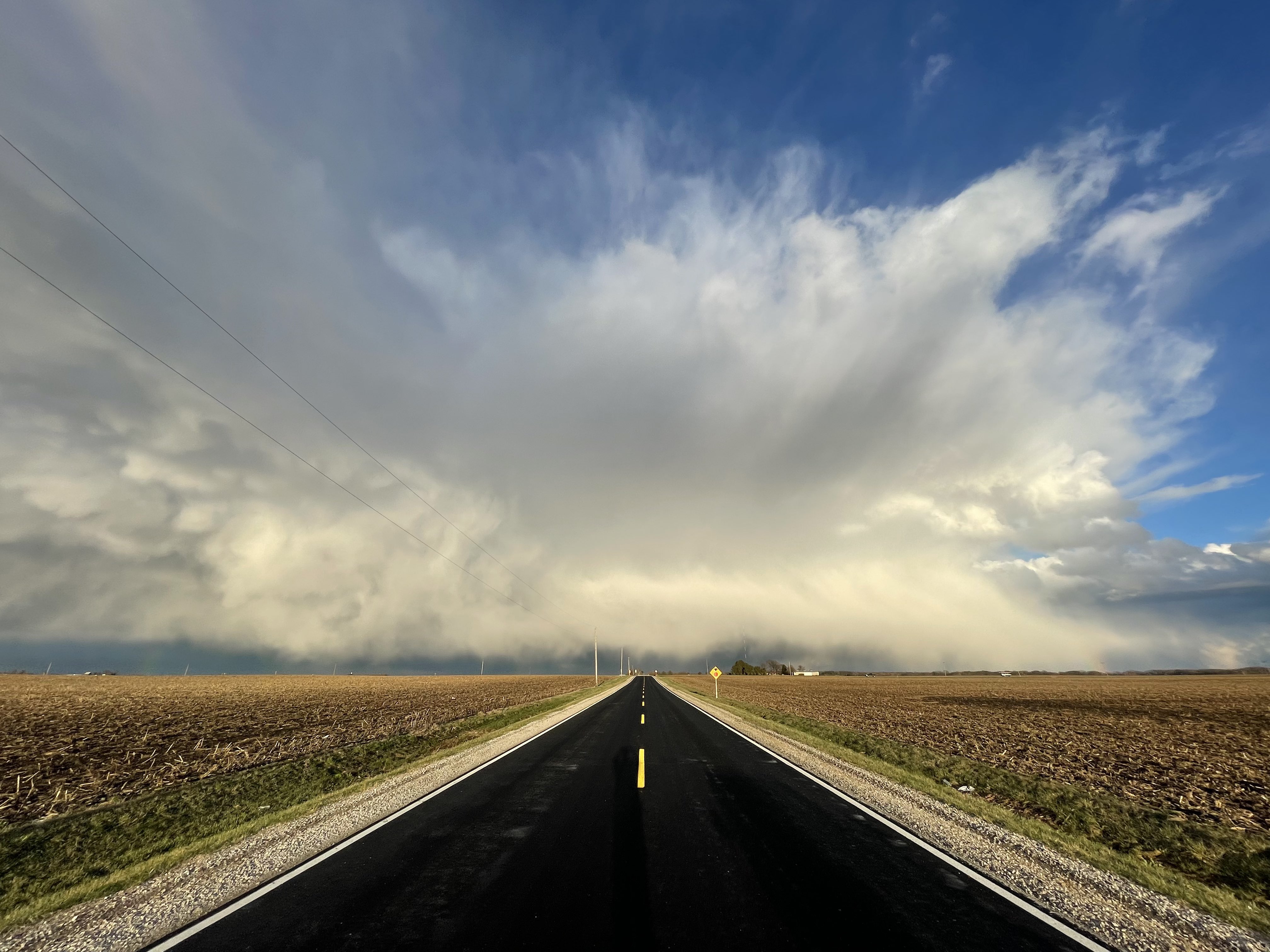
Photo by Andrew Pritchard.
Over the past three weeks we’ve been riding this rollercoaster between periods of high pressure, with mild and sunny days drawing us out of our homes and into the spring bliss, only to be followed by a stubborn upper-level low pressure system that turns up the dial on cold and cloudy gloom.
Overall, March 2022 came in slightly warmer than average with a monthly mean of 42.4 degrees, just 1.6 degrees above average. Of course, a ton of detail is lost within that monthly mean coming from a month that featured both days that were 20 degrees warmer and days that were 20 degrees colder than average at times. It was often anything but average.
Monthly precipitation was well above average thanks largely in part to a very active and stormy second half of the month. Total monthly precipitation for Champaign-Urbana in March 2022 was 4.69″, almost two inches above the monthly average of 2.77″. The largest single-day rainfall occured on March 31st with 1.90″ of rain fell over the Twin Cities. Snowfall came in below average, with only 1.6″ falling on March 11th and trace snowfalls on March 8th and 12th.
The early spring roller coaster has continued into the first week of April as we dip into cold conditions with periodic overnight lows in the 20s and then rebound to pleasant sunny days with near average temperatures around 60 degrees. The rain showers have been frequent, but at most times light.
What’s ahead for the rest of April? Well, more spring extremes, probably.
The next few days look cold again, perhaps even with a few snowflakes on Friday. But we turn sunny over the coming weekend and temperatures quickly rebound heading into next week. In fact, a major shift in the jet stream is coming to North America next week, one that will send much of the Midwest into a surge of spring warmth. We’re likely to see a string of days in the 60s and 70s across Central Illinois next week, roughly April 11th onward.
With early spring warmth often comes the sense that early spring severe storms are not far around the corner. Indeed, while details are often fuzzy-at-best at more than a week away, it does appear that the background state of the atmosphere across the Central U.S. will be one that favors one or more rounds of severe thunderstorms from the Plains to the Midwest next week. Whether we take a hit here in Central Illinois or not is tough to say at range, but it’s going to be back on the table in mid-April. Of course, to any long-term resident of the Midwest, we know that simply comes with the territory as we transition seasons annually.
Deeper into late April the picture becomes less clear. After next week’s warm and stormy pattern shift, it’s possible another dive into cooler conditions overspreads the Midwest. But, the mild and at times stormy pattern has been one that’s been long-advertised over the Midwest this spring and it wouldn’t surprise me if we’re able to swing that pendulum back once again by the end of the month.
So, to look at the rest of April overall does it a bit of a disservice. I’d expect a month that finishes with temperatures near average, even with the colder than average first week already on the books. Periods of big warmth and perhaps even our first 80-degree days await, as do more stubbornly cold mornings. Precipitation is likely to finish near or slightly above average, which says nothing of the fact that some of it will come in the form of snowflakes this week, and some will come from spring thunderstorms — some of which could be severe, especially mid-month.
A month with near-average temperatures and near-average to slightly higher than average rainfall, but with an April-in-the-Midwest twist, as always!
Andrew operates Chambana Weather, where he publishes daily weather information for Champaign-Urbana and surrounding communities. He also serves as Senior Meteorologist with Nutrien Ag Solutions at Research Park, focused on domestic and international weather and its impact on agriculture.
Champaign-Urbana monthly climate statistics are courtesy of the Illinois State Water Survey.