You are completely right to look back on the month of January and think to yourself, “wow – that was kind of rough.” The month comes to an end with an average temperature of 23°, 1.8° colder-than- average. We only finished that close to average thanks in large part to a warm streak during the final week of the month. Precipitation wise, we were very dry in Champaign-Urbana, picking up 1.10” of liquid precipitation, 0.95” below-average. Snowfall came in below-average as well, with a monthly total of 3.5”, 3.3” below our typical January average of 6.8”.
Think back to the holiday season, and you’ll likely remember face-hurting cold. We rang in 2018 with a New Year’s Day high temperature of -3°! The first day of the year came to a close a whopping 35° below-average. In fact, the first six days of 2018 were at least 15-degrees colder than average. It took an entire week for us to achieve a temperature above the freezing mark on January 7th. If you’re into setting climate records, January 1st and 2nd both achieved record lows, with low temperatures of -15° and -14° respectively. I wasn’t a fan of any of that. Trust me, if meteorologists controlled the weather, there is no part of me that would have picked that kind of arctic lifestyle.
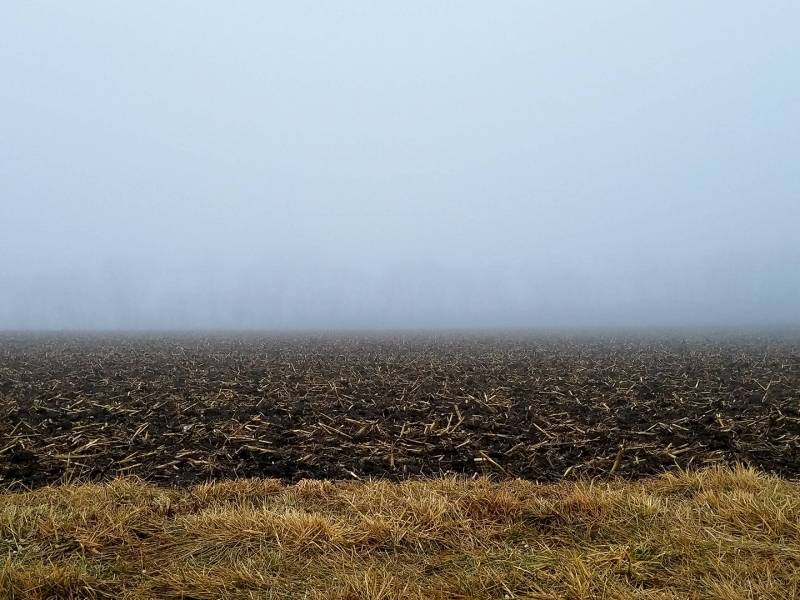
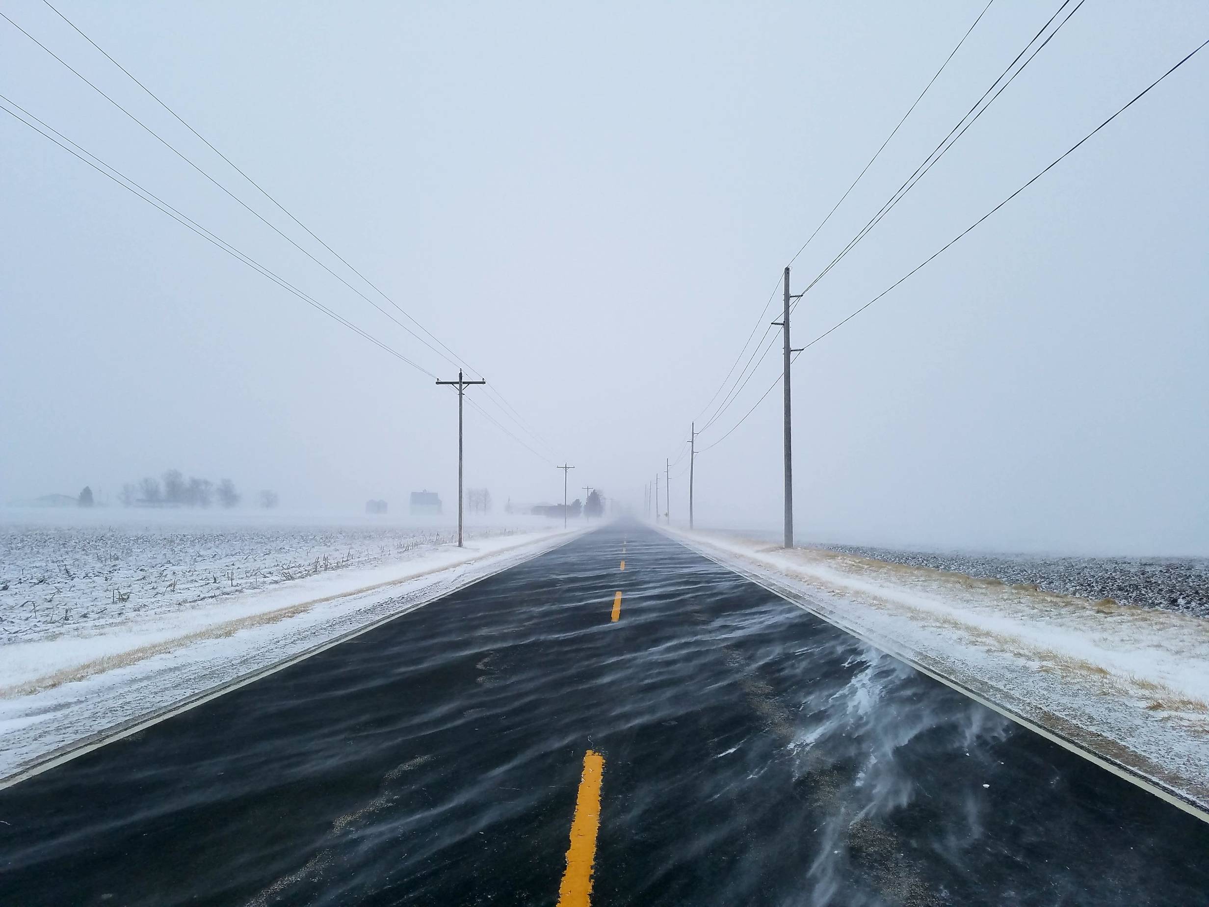
We live in central Illinois, so you know that if you hate the weather now – just wait a moment. Sure enough – by January 10th and 11th we were flirting with 60°with rain and dense fog, at times reducing visibility to 100 yards across Champaign County. The thaw was short-lived however, as sub-zero temperatures regained their grip on central Illinois January 15-17. We also picked up nearly our entire monthly snowfall during this stretch, with 3.3” of our 3.5” of snow falling on January 15th. If you haven’t figured it out – January snow often means January cold.

As I mentioned earlier, what saved January from finishing even further below average was the relief we found during the last 10 days of the month. Of the final 12 days in January, only one fell in the below-average category. 11 of the final 12 days were warmer than average, with 8 of those days more than 10-degrees above average. We even heard thunder on January 22nd!
Again, precipitation falls below average. We’re now in a stretch of three straight months with drier than normal conditions. A region of moderate stage drought is beginning to creep into central Illinois, and that’s something I’m watching on the agricultural side of things as we head into spring. We saw snow flurries on 13 days in January, but only two of those days provided measurable snowfall, and it was the 15th of January that provided all but 0.2” of that.
Winter 2017-18 could be classified as very cold, but coming up a bit short on the snowfall side of things. What are we looking at for February? It’d be cheating if I didn’t mention this was being written on February 4th – and thus far we’re off to a cold start again. We’ll spend our second night of the month in single-digits tonight.
Looking ahead, I think there’s reason to have hope. If you’re into feeling your face when you walk outside, anyway. I think we’ll spend the first 10 days or so of February on the cold side, with perhaps several rounds of minor accumulating snow. After the second week of February, I think we’ll start to moderate. That means temperatures on the warmer side of average, perhaps with a return to the 50’s, and even the 60’s by the end of the month. I think precipitation remains rather sparse, and we finish a fourth straight month below average. I just don’t see much in the near-term that suggests anything in the way of heavy precipitation, at least as far as I can reliably see.
I think when I’m writing our February recap, I’m talking about a month that ends up warmer-than-average, and drier-than-average.
See you all in meteorological spring!
Andrew Pritchard runs ChambanaWeather.Com, and you can hear his forecasts daily on WILL-AM/FM, WEFT-FM, and WPCD-FM. Chambana Weather is on Facebook and Twitter.
Champaign-Urbana monthly climate data comes from the Illinois State Water Survey.


