Well, we did ask winter where it was. Or at least the very noisy snow-loving majority did!
After a nearly record breaking snow-free start to the winter that still had us waiting for our first inch of snow on January 31st, we flipped the calendar into a winter wonderland in February. January was cold and dry across Central Illinois, but February pivoted to cold and snowy and our snow deficit was quickly erased.
The average temperature for February 2022 was 29.8 degrees which is 4.1 degrees colder than the monthly average. We picked up 3.02″ of total liquid precipitation in February, three quarters of an inch above our February average of 2.18″. Snow enthusiasts and winter purists rejoiced as 15.3″ of snow fell in Champaign-Urbana, nearly tripling our 5.8″ average for the month.
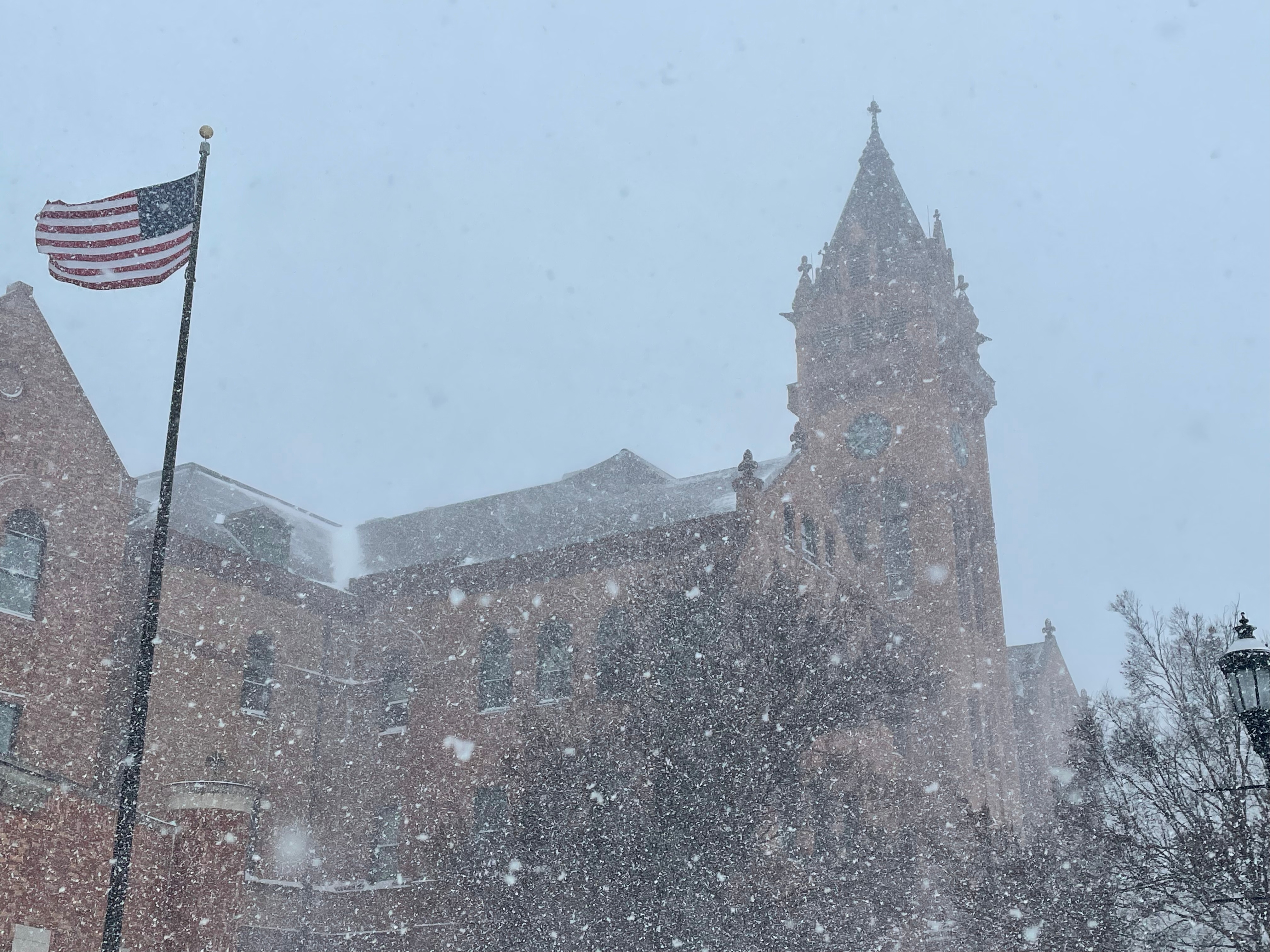
One of the biggest snowfalls of the last decade arrived February 2-4 when a long-duration winter storm dumped nearly a foot of snow across much of Central Illinois. This was one of the most disruptive winter storms in recent memory as travel was difficult to impossible across Champaign County for over 72 hours.
The coldest air of the season followed the winter storm, but compared to arctic blasts of recent years we largely escaped dealing with any sort of long lasting extreme cold across central Illinois. The overnight low fell below zero on February 5th, but just four days later we were back in the 40s. That’s felt like the theme, hasn’t it? A blast of cold air will settle over Central Illinois before early spring warmth elbows its way back in.
Additional winter storms brought wintry mixes of freezing rain, sleet, and light snow to the region but 2.4″ of snow was the biggest storm total snowfall following the major winter storm in the first week of the month.

Photo by Andrew Pritchard.
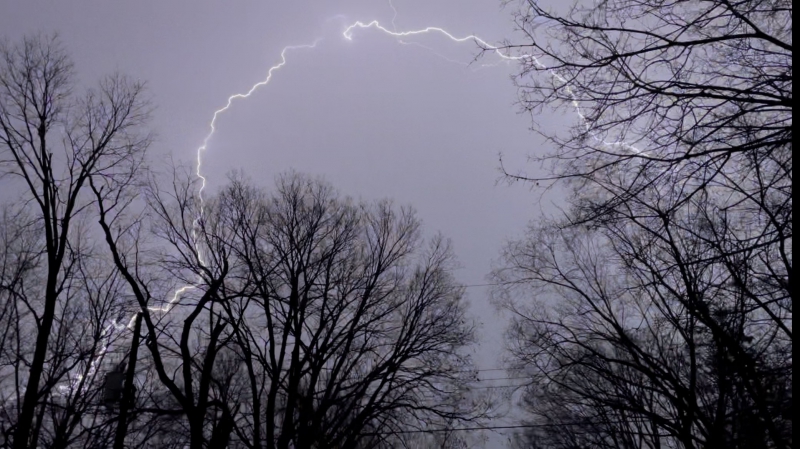
A surge of spring warmth arrived on February 22nd when we hit our highest temperature of the month, 56-degrees, with springtime showers and thunderstorms to boot.
So far in 2022 we’ve had a cold, dry January, a cold, active + snowy February, and March is off to an appropriately chaotic start. We’ve enjoyed our first 70-degree day of 2022 with a high of 73 on the 6th. We also saw our first severe thunderstorms of the spring that same day as a line of storms producing strong winds prompted a severe thunderstorm warning around Midnight. That taste of spring was quickly squeezed out this week, and we’ve returned to cold and quiet conditions across the Midwest. What’s in store for the rest of the spring?
First of all, I’m going to be up front and say that we’re in one of the periods of highest uncertainty in the long-range weather forecast annually. In the short term we’ve got another chance for some light snow on Friday before we quiet down again heading into next week. The next 14 days will likely have more dry days than rainy days, and as we head into mid-March warmer days will likely outnumber the cold.
For now, the outlook in late March, April, and May has trended in the warm and dry direction. Drought concerns are growing across the western U.S. into the Plains. In the Midwest, I’m not so concerned. We’ll have to watch drought to our west through the spring, and if it continues to expand in our direction that may be something we become increasingly concerned about heading into the summer months. For now, springtime rains can quickly erase drought concerns, and there is still some indication that after a dry middle of March our neck of the Midwest may return to active and stormy conditions in April.
So what’s the tangible takeaway? It’s going to be rather chilly to downright cold over the next 3-4 days with a little light snow on Friday. Winter vibes last through the end of the week. Next week looks mild and quiet — I’m guessing several sunny days with afternoon temperatures in the 50s, 60s, and perhaps even the 70s again with spring vibes and overall moods soaring high across Central Illinois.
In late March and April I do think there’s a window for us to return to at least intermittently active and stormy conditions with seasonally appropriate chances for severe thunderstorms across Central Illinois. Deeper into the spring it seems increasingly possible, if not probable that we’ll turn hotter and drier. I’m hesitant to suggest we approach 2012 levels (extreme heat and drought across the Midwest) but there’s very little indication we’ll see a cold and rainy spring. It honestly looks like a great spring for enjoying the outdoors. We’ll look back and grade that take in a couple of months.
For now, I’d put the April & May odds something like for Champaign-Urbana:
Hot and dry: 40%
Mild and near average precipitation (+ severe weather): 40%
Mild and dry: 15%
Cold/wet, other: 5% or less
Andrew operates Chambana Weather, where he publishes daily weather information for Champaign-Urbana and surrounding communities. He also serves as Senior Meteorologist with Nutrien Ag Solutions at Research Park, focused on domestic and international weather and its impact on agriculture.
Champaign-Urbana monthly climate statistics are courtesy of the Illinois State Water Survey.


