At the beginning of the month while finishing my January recap I looked ahead to February, calling for above average temperatures and below average precipitation – expecting another in a run of dry months in Champaign-Urbana. Well, sometimes it’s possible to be really right and really wrong all at the same time, and I’m really okay with admitting that. In my work as an agricultural meteorologist with Agrible I tour the Corn Belt during the late winter and give my forecast for the spring planting season. During these talks I have been calling for a flip to an active rainy pattern across the Midwest. What I did not expect, was this flip occuring during the last week of February. We quickly moved from another very dry month, to one of the wetter February’s in the last decade. Let’s take a look at the numbers.
As forecast, February finished warmer, with an average temperature of 32°, 3.2° above the average for the month. Precipitation was where I had the rug pulled out from under my forecast. Total precipitation finished at 6.12″, well-above the average of 2.13″. Nearly 3-times the average, at that.
Now, February didn’t start off warm, nor did it start active or rainy. We began the month with 10 of the first 12 days being colder than average, even plunging as low as -7° the morning of the 5th. On February 13th we began an incredible run which saw 15 of the last 16 days all with warmer-than-average temperatures. In my January review I called for a warming trend that could even provide a return to temperatures in the 50’s and 60’s, and that did happen in a big way with four days having high temperatures reach the 60s (20-degrees above average).

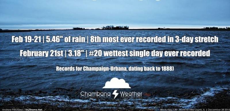
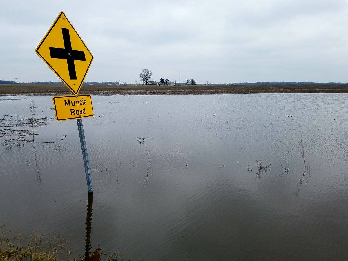
Until February 18th, we had only seen 0.38″ of precipitation in Champaign-Urbana, on pace to finish well-below average for a fourth straight month. But then, that pattern change that I expected to arrive further down the road into spring showed itself. Over the course of three days, C-U picked up 5.46″ of rainfall. This was the 8th wettest three-day stretch in recorded history (back to 1888) in Champaign-Urbana, by the way. If you’re like me, a lot of that water ended up in your basement. Additional light rainfall fell throughout the final days of February, bringing us to our final tally of 6.12″. With the warmer weather pattern arriving, snowfall finished below average. Final tally for February snowfall in C-U was 2″, below the average of 5.8″.
The outlook for March – a mixed bag, as if you cut the month in half. Everyone wants to know: Are we done with winter? My answer: Sort of. I think you’ll find the first half of March a bit “annoyingly chilly” at times. Not bitter cold, just… pretty darned chilly. Again, no major snowstorms, nor any arctic outbreaks on the horizon. Just don’t expect to ride this recent warm stretch straight into an early spring. Once we get to the second half of March, after around March 15th or so, I expect a pattern change back to warmer temperatures in the Midwest. In Champaign-Urbana, that would likely mean more afternoons with high temperatures in the 60s, and perhaps our first days in the 70s during the last 10 days or so of March. I expect March precipitation to finish very near our monthly average of 2.86″. I think we’ll remain in a fairly active weather pattern with at least a weekly chance of rain and thunderstorms in our area. I don’t currently see anything that suggests a week like we saw to end February with roadways and basements being filled with water, but that’s of course always subject to change with short notice given the right storm system.
So let’s say final March numbers end warmer than average temperature-wise, with near or just above average precipitation in Champaign-Urbana.


