


We’re cruising through the first week of May and I can’t leave the house without being asked when spring will really arrive in Champaign-Urbana. It has certainly felt like we’ve had several false starts to what folks might associate with real spring weather, but has it really been all that bad? Let’s take a look back at the month of April here in the Twin Cities.
April 2022 finished 3.5 degrees colder, and 1.42″ drier than average in C-U. The colder-than-average days outnumbered the warmer 19 to 11, and the rainy outnumbered the dry 18 to 12. So, more than half of the month was cloudy and rainy with temperatures below average across Central Illinois. “Cold and wet” is certainly one recipe for a rather depressing month, especially when I get the feeling it is sunny and mild weather we’re all craving as we conclude our winter hibernation.
It’s true that April caused some pain points locally, especially with our farmers. Cold and cloudy weather delayed flower blooms, and frequent rains have kept farmers out of the fields as they try to plant their crops for the coming growing season.
We did warm up a time or two, and achieved our first 80-degree day of the year on April 24th. Severe weather has threatened a few times, but has mostly missed our backyards. What was expected to be a rather volatile day on April 13th was squashed by morning rain and clouds.
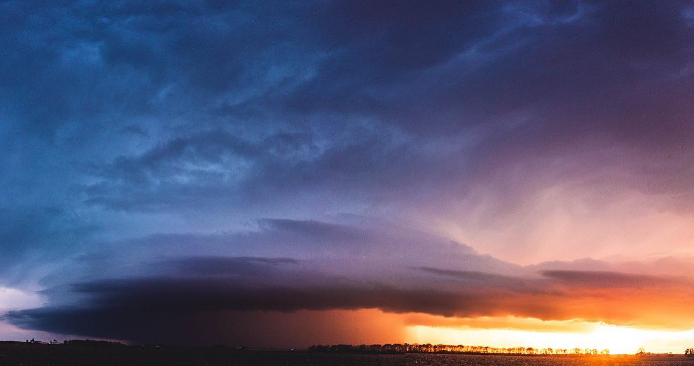
A specatular scene unfolded on the final evening of April as a severe thunderstorm approached from the southwest right as the setting sun hit the horizon. The result was a surreal red, turmultuous sky preceding some gusty winds, small hail, and a vivid lightning show as darkness fell over Champaign-Urbana on April 30th.
Looking ahead to May, a major change is on the way.
After a gloomy and rainy end to this week, we’ll quickly transition to a much warmer and drier weather pattern across the Midwest. We’re on our way from a first week of May that featured high temperatures in the 50s and 60s to a second week of May that has us flirting with 90 degrees and record high temperatures.
How long does the flip to hot and dry last across Central Illinois? That’s the question we’re trying to answer now. There has been indication all winter and early spring that this year could feature quite a bit of heat and drought across the Central U.S. The big question has always been, when does that switch flip?
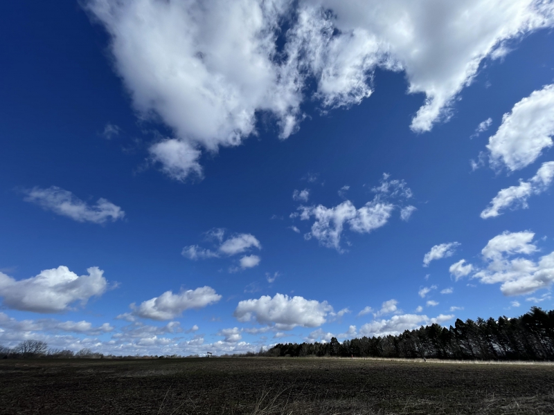
Photo by Andrew Pritchard.
Right now, it looks like we’re starting at at least 7 to 10 days of generally sunny, hot, and dry weather taking us into the last two weeks of May. From there, it’s certainly possible we could return to a pattern that at least affords scattered shower and thunderstorm chances and shots of cooler air across the Great Lakes. Current seasonal forecast guidance still suggests the brunt of the heat and drought this summer could be confined to our west, across the Great Plains.
Still, even with our cold and rainy start to May, I think we’re looking at a month that finishes on the hotter and drier side of average. Will severe thunderstorms make their springtime presence known along the way? It’s possible, but not likely until the last half of the month.
I expect the next few weeks to feature an explosion of evenings spent on patios, farmers and gardeners planting rapidly, and outdoor recreation locally!
Andrew operates Chambana Weather, where he publishes daily weather information for Champaign-Urbana and surrounding communities. He also serves as Senior Meteorologist with Nutrien Ag Solutions at Research Park, focused on domestic and international weather and its impact on agriculture.
Champaign-Urbana monthly climate statistics are courtesy of the Illinois State Water Survey.