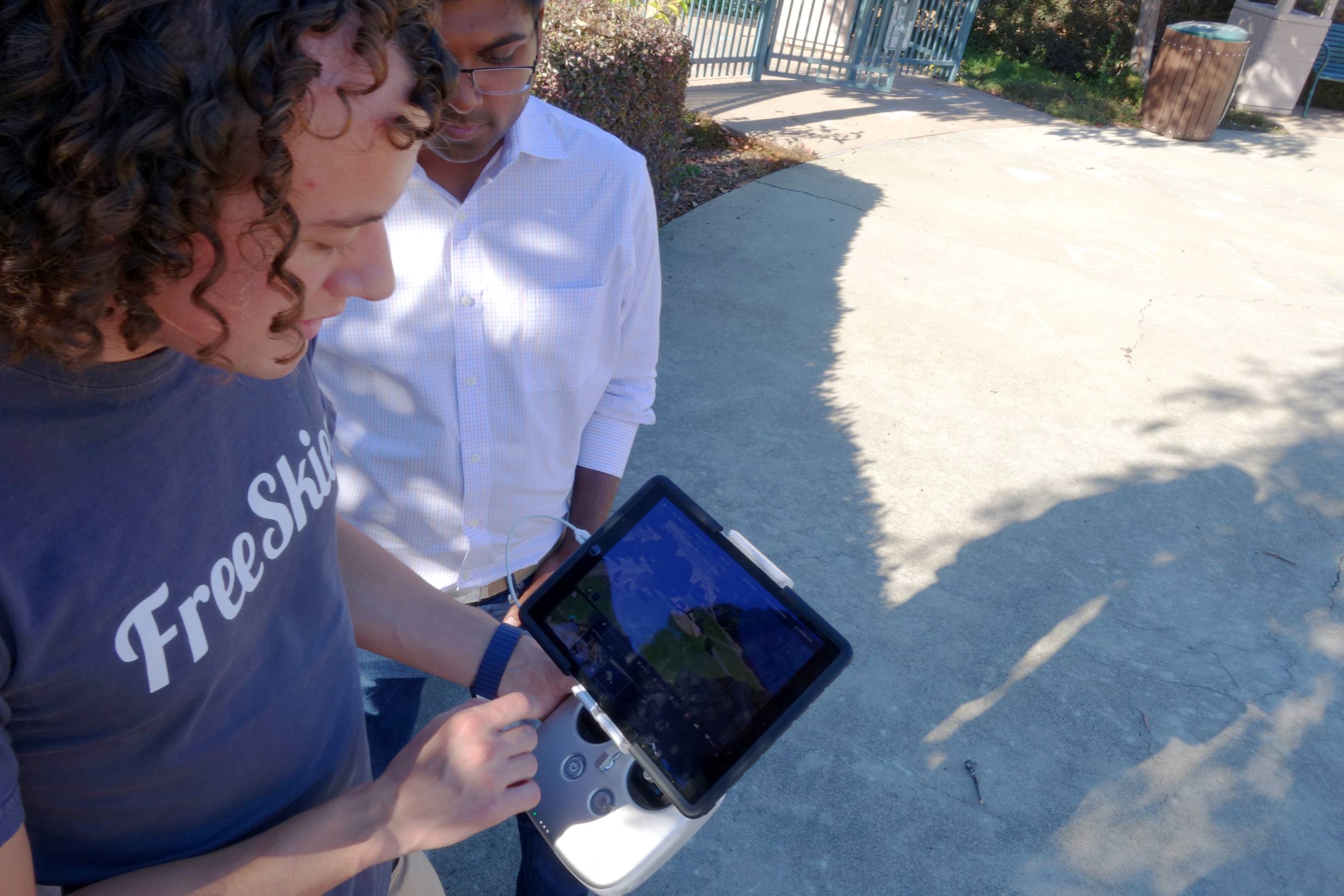
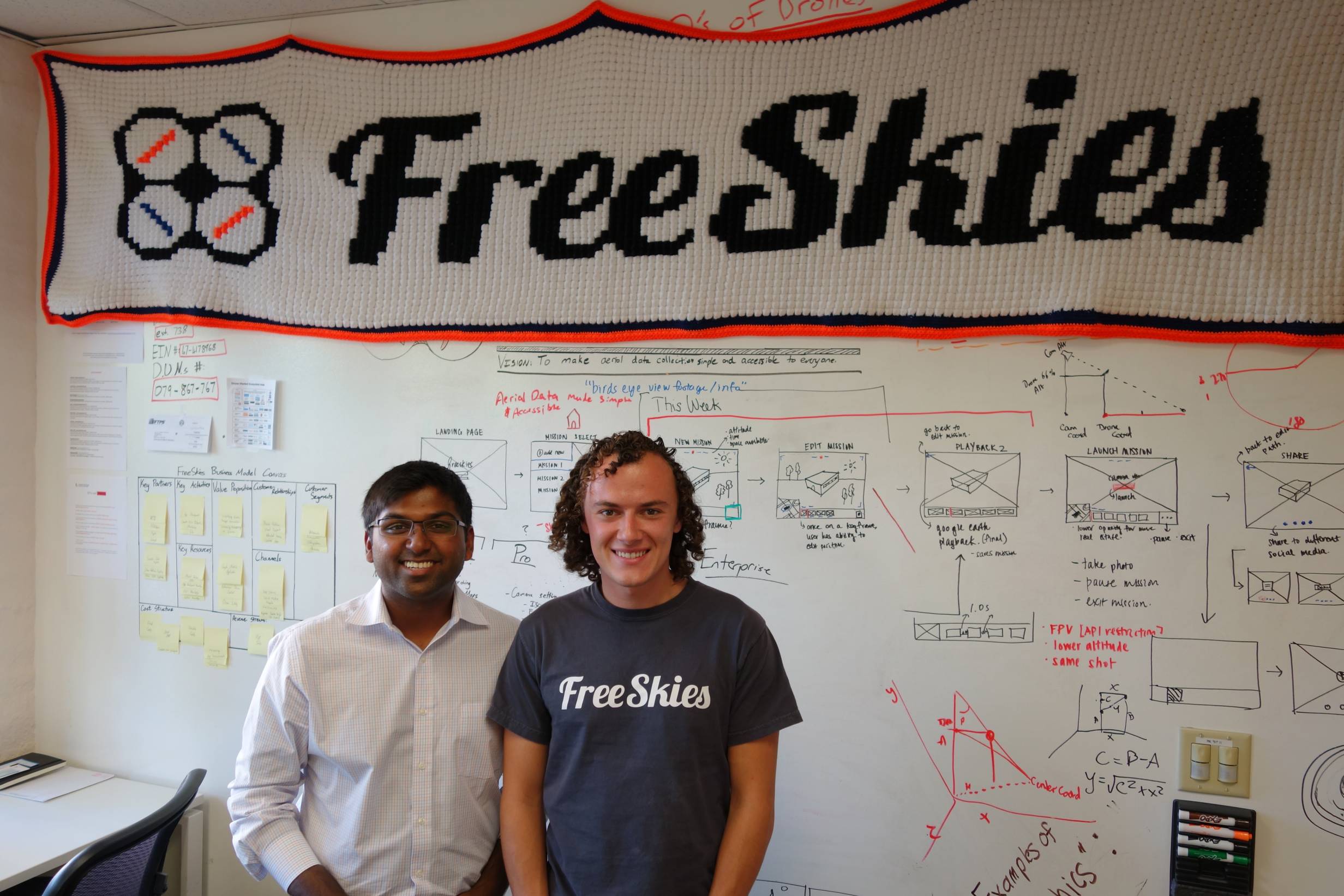
Two U of I Aerospace Engineering students have teamed up to create an app that could revolutionize the way drones are operated. The app, called Copilot, allows for autonomous control of your drone by first setting a path with a 3-D map. The app helps the drone pilots “fly smart and it takes the guesswork out of where to safely and legally fly your drone” says Jay Mulakala, CFO and co-founder of Freeskies and the Copilot app.

With this model in mind, they recruited and iOS developer team to form their app called Copilot. What this app can do is brilliant, it takes the 3-D topography in your flying realm and relates it to a hands-on, user friendly map. Here is the most brilliant aspect of the app, Copilot incorporates Federal Aviation Administration (FAA) regulations into the code. If the drone pilot flies five miles of an airport, in a National Park, or in a “No-Fly” zone, the code will alert the pilot of the infraction. There isn’t a mechanism that deactivates the drone mechanically once it has made a flying infraction, so it is technically up to the pilot to heed the advice of Copilot in order to fly safely.
This brings us to a few topics of much recent debate:
- Who are actually flying these things, and
- How do we know they’re competent enough to utilize these things properly (remember what happened last March when a Hobbyist drone pilot was unaware his drone crashed on the White House’s South Lawn)?
Mulakaka assured me that drones have received a bad reputation in media for no reason:
“They are incredibly light and would not be able to carry the extra weight of a bomb or even the extra weight of a camera with a zoom lens. Thus, drone images cannot zoom. Actually, drones are very loud and if one were to sneak up on someone to invade privacy, you would most certainly know about it. The technology is harmless. The biggest difficulty will be in FAA regulations for drones and how to streamline their presence in the air in an efficient and safe manner.”
Indeed, the FAA has struggled in regulating drones. How can they regulate an airborne camera that is projected to be a best seller for next year’s Holiday season? And at the price of a laptop, it is very probable that many will be purchasing and flying drones in the skies within the next year. Currently, the FAA has in place a 333 exemption for professional photographers and videographers that sell their drone footage commercially. This exemption requires that the drone pilot has a pilot’s license, submits photos of their equipment, and submits a safety plan of flight. However, there are loopholes to the exemption, and many are flying without registering their equipment.
And for hobbyist drone flyers, how does the FAA ensure they are flying safely? According to these two at FreeSkies, Copilot is the answer. In the future, Copilot will track drone flight patterns real-time, and the FAA can use this data to ensure their paths do not interfere with planes or other drones. And most importantly, the FAA can use flight path data to ensure drones are being used only for hobby or profession, and not for malice.
For more information on the FreeSkies startup or the Copilot software, visit the FreeSkies website at here.
Images courtesy of FreeSkies.


