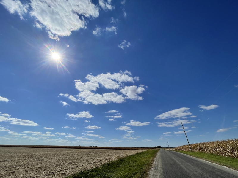
October brought a very quiet weather pattern to the Central U.S. with drought conditions expanding across a wide geographic area east of the Rockies, including the Midwest. You’ve probably been hearing about very low water levels on the Mississippi River creating shipping issues as barges are unable to travel up and down the river. This is all due to a lack of late-summer and early-autumn rainfall across a large swath of the country east of the Rockies that typically drains into the Mississippi River.
When we look back at precipitation in Champaign-Urbana through the month of October, almost the entire month’s rainfall fell on October 26th, late in the month as we began breaking down the quiet, dry pattern. Otherwise, light precipitation fell on seven other gloomy days in October, including the first snow flurries of the year on a chilly October 18th. These were among the earliest snowflakes recorded across Central Illinois in recorded history. Total monthly precipitation comes in at 2.33″, a little over an inch below the monthly average for October in C-U.
The month was defined by stretches of late-season warmth, followed by shots of cold air from the north. We began the month with a run of 70-degree afternoons through the first ten days of October, but a mid-month chill settled over the Midwest. As mentioned above, flurries were flying in some corners of Central Illinois as overnight low temperatures settled into the upper 20s on October 19th and 20th, officially ending the growing season in Champaign County. Naturally, this was followed by another warm-up that saw afternoon high temperatures again approaching 80-degrees on October 22-25. And hey, how nice was it to have a Halloween to trick-or-treat outdoors without it snowing or raining or any other generally unenjoyable weather conditions — just a quiet, mild evening with temperatures in the 50s — perfection!
Between all of the periods of warmth and early shots of cold air, October finishes 1.2 degrees colder than average in Champaign-Urbana.
A little colder than average overall, and noticeably drier than average is the finished story for October in C-U.

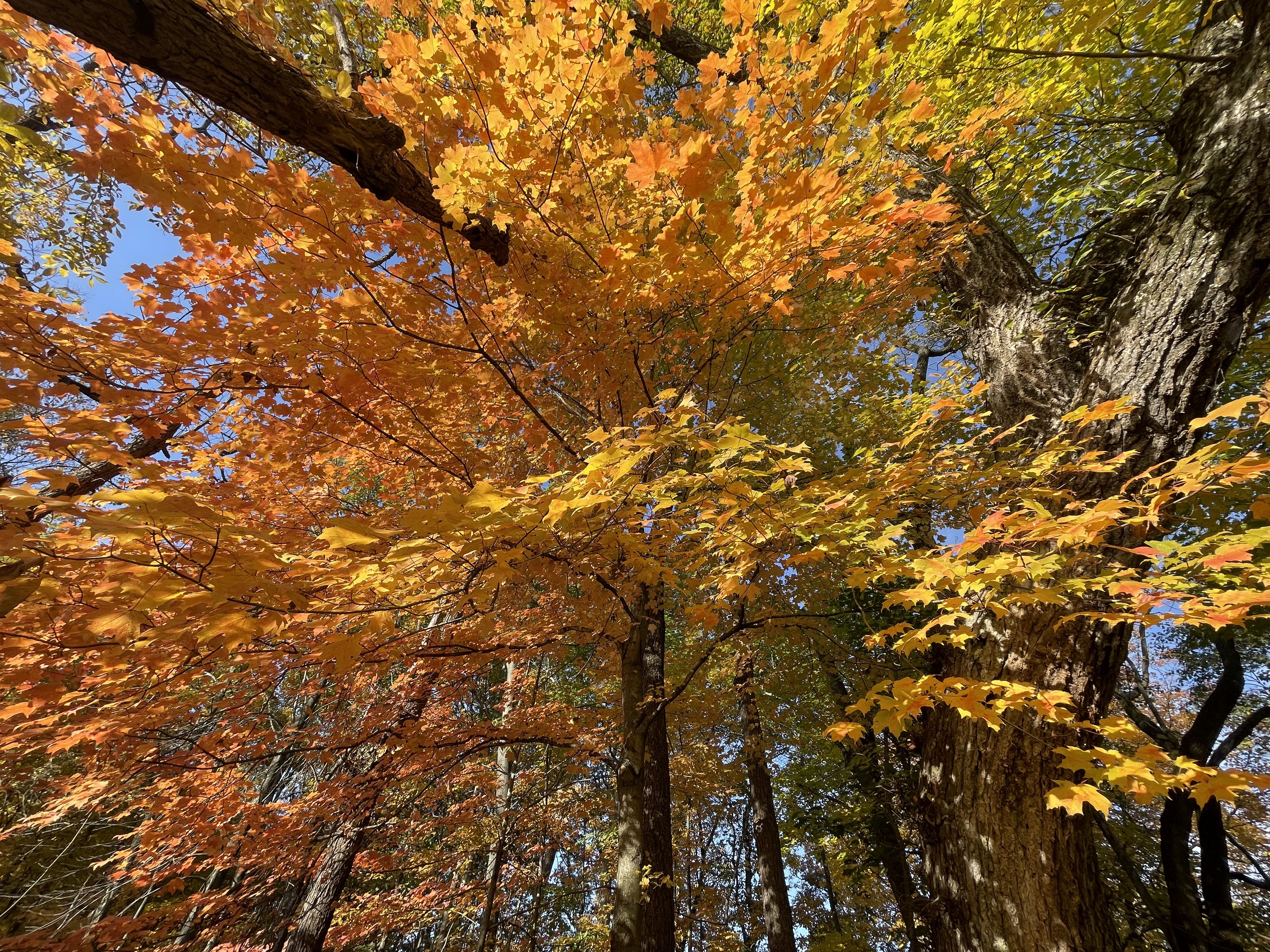
Photo by Andrew Pritchard.
Looking ahead to the rest of November, a winter chill is just around the corner. We’ll enjoy another stretch of warmer days with afternoon high temperatures climbing into the 70s across Central Illinois through November 10-11, but a sharp cold front is expected to send our temperatures into more wintery levels heading into the middle of November. This may be a shock to the system as we go from highs in the 70s, to highs in the 30s over the course of a couple of days.
It is possible that by late November we start to see temperatures moderate or even trend a little warmer than average but we’ll still be prone to additional shots of colder air through late-month. For that reason I’d hedge a little toward the colder side of average overall for the month of November. Additionally, I expect another mostly dry month across Central Illinois. For now the colder weather pattern does not mean we’re headed for a snowy Thanksgiving. Instead, I think we’ve got a lot of sunny, crisp, cold days ahead.
Andrew operates Chambana Weather, where he publishes daily weather information for Champaign-Urbana and surrounding communities. He also serves as Senior Meteorologist with Nutrien Ag Solutions at Research Park, focused on domestic and international weather and its impact on agriculture.
Champaign-Urbana monthly climate statistics are courtesy of the Illinois State Water Survey.


